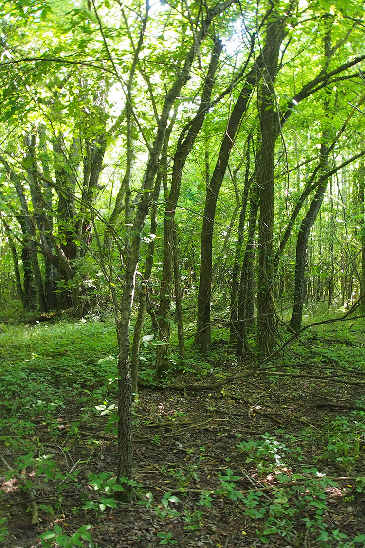
Stateline Sand Ponds Natural Area, located in the Mississippi Alluvial Plain, is a wooded tract composed of a mix of forest types set within an almost completely cleared agricultural landscape. The natural area includes ancient sand dune/pond complexes, floodplains, terraces, and associated landforms of the Pleistocene Mississippi River and present day Black and Little Black rivers. It represents one of the last remaining areas of habitat for the federally endangered pondberry in this corner of the state and is a portion of a larger 1,500 acre conservation site that extends south and west into Arkansas and north and east into Missouri.
DIRECTIONS
From the center of Corning take U.S. Highway 67 north approximately 2.8 miles to its junction with State Highway 328, turn left (west) onto State Highway 328. Go 1 mile, turn right (north) on County Road 143; go 2.5 miles north.
HUNTING
Specific types of hunting are allowed on this natural area. For details, see the Stateline Sandponds Natural Area WMA listing in the current Arkansas Hunting Guidebook. Take all necessary safety precautions when visiting this area.