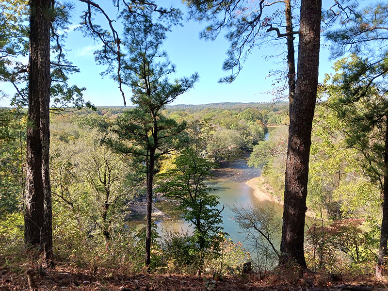
Goat's Beard Bluff Natural Area is located along the lower portion of the Alum Fork of the Saline River, 3 miles upstream from its confluence with the North Fork (where it becomes the main stem of the Saline River). The natural area is located at the transition zone between the Ouachita Mountains and the Gulf Coastal Plain and is inhabited by both upland Ouachita Highland Species and lowland Gulf Coastal Plain species. It includes 0.75 mile of the Alum Fork and 3 miles of unnamed tributary streams, supporting at least eight species of state conservation concern (five of which are also of global concern) including the federally listed Threatened mussel, the Arkansas Fatmucket (Lampsilis powellii). The natural area is named for a plant that occurs there, Goat's Beard (Aruncus dioicus), which grows near the bottom of a large bluff along the river. This showy wildflower is so rare in the Ouachita Mountains that this is the only known population within that ecoregion.
DIRECTIONS
From the junction of Interstate 30 and State Highway 229 (just west of Benton and the Saline River), go north on State Highway 229 for approximately 0.6 miles. Turn left onto W. Jackman Trail and travel for 1.5 miles. There is an area to pull off the road in front of a yellow gate.
