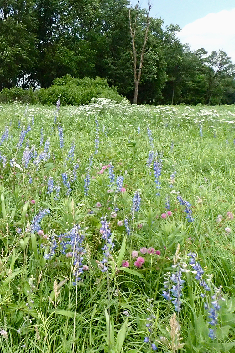
Chesney Prairie Natural Area is one of very few tallgrass prairie remnants left on the Arkansas portion of the Springfield Plateau and supports a number of rare species. Much of its flora and fauna is representative of the once extensive upland prairies and savannas of the western Ozark Mountains. Sager Creek runs through the prairie, creating a wooded riparian corridor.
TRAIL
Length- 3.21 miles roundtrip
Difficulty- Easy to moderate
Download Trail Map
A series of mowed trails takes visitors through different natural communities and past a variety of native prairie plants. Chesney Prairie has an abundance
of flowering plants from late April through June, with different wildflowers blooming in succession.
DIRECTIONS
From the intersection of U.S. Highway 412 and state Highway 59 in Siloam Springs, travel north on state Highway 59 for approximately 2 miles to County Road 6 (Chesney/Bill Young Road). Turn right (east) and travel approximately 0.75 mile to a farm road on the left. Turn left (north) on this farm road and travel approximately 0.63 mile along easements to the southeast corner of the natural area as indicated by the natural area sign.
HUNTING
Hunting is prohibited on this natural area.
Related Content
