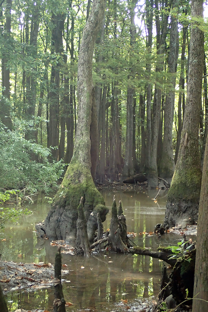
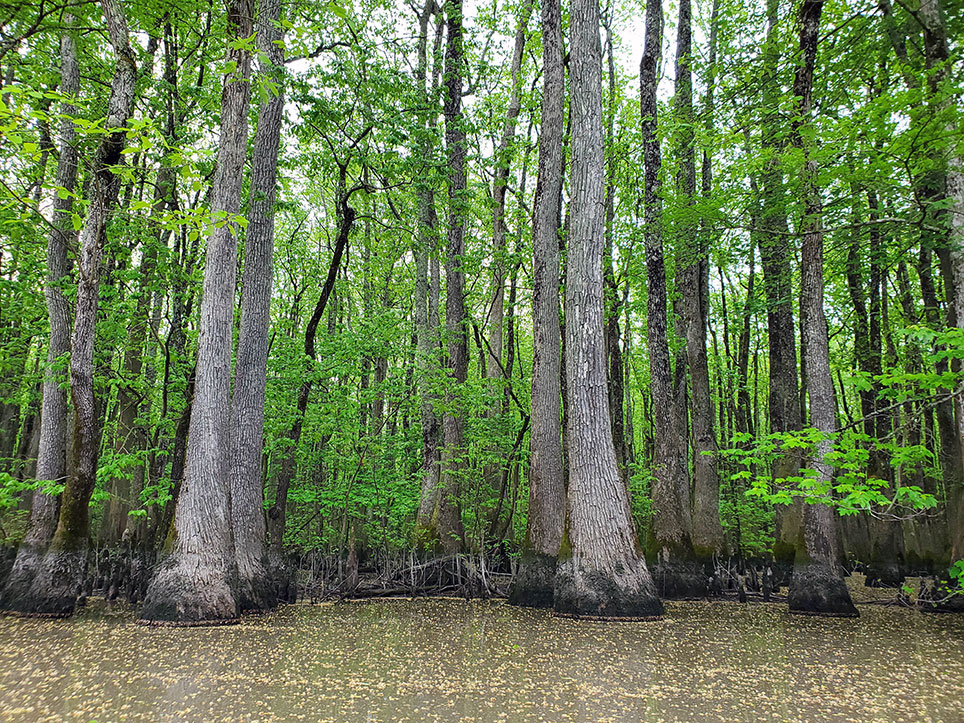
Benson Creek Natural Area, located in the Mississippi Alluvial Plain of eastern Arkansas, provides an extension and buffer to a high-quality bald cypress-water tupelo swamp located along Bayou DeView. Previously disturbed plant communities within the natural area are the focus of restoration efforts designed to improve the ecological quality of the site. The Nature Conservancy and the Arkansas Natural Heritage Commission hold an undivided interest in 302 acres.
TRAIL
Length - 6.5 miles to Lake Hickson Access; 7.2 miles to Rock Island Road Access; 15.2 miles to Bank of Brinkley
Difficulty - Moderate; not ADA accessible
Download Trail Map
Bayou DeView Water Trail is free of rapids, although high water can be dangerous. Always keep a trail marker in sight. Expect to travel 1-2 miles per hour. The main channel is not always distinct, so a GPS unit, map, and compass are needed. This map is a representation of the trail; water levels may affect the route. Please respect private property marked by fences, signs, or purple paint. The gauge height must be 14 feet or higher to paddle the trail.
DIRECTIONS
From Brinkley go north on U.S. Highway 49 to State Highway 17. Go west on State Highway 17 about 3 miles to the bridge over Bayou DeView. Parking and boat access are available south of bridge.
HUNTING
Specific types of hunting are allowed on this natural area. For details, see the Benson Creek Natural Area WMA listing in the current Arkansas Hunting Guidebook. Take all necessary safety precautions when visiting this area.