A forest long protected from human disturbance, Striplin Woods Natural Area displays considerable diversity over an elevational gradient extending from elevated river terrace down to the margin of the White River. Overcup oak forest occupies much of the floodplain that constitutes most of the tract. Water hickory, willow oak, and honey locust are the major associate species. A steep slope above the floodplain supports species more typical of upland forests. The canopy is high, and many of the trees exceed 24 inches in diameter. Located in the Mississippi Alluvial Plain of eastern Arkansas, Striplin Woods represents a small portion of the once extensive hardwood forests that occurred across this part of the state. With clearing for agriculture, much of this habitat type has been lost. Striplin Woods is a part of the White River National Wildlife Refuge and is co-managed with the U.S. Fish and Wildlife Service (USFWS).
TRAIL
Length- Long loop- 1.6 miles; Short loop- 1.2 miles
Difficulty- Easy to moderate; not ADA accessible
Download Trail Map
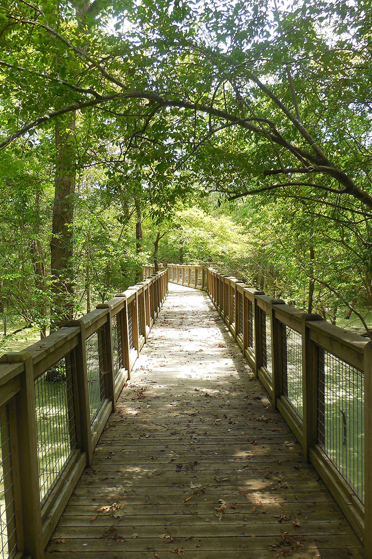
The Bottomland Hardwood Trail begins directly behind the White River National Wildlife Refuge (WRNWR) visitor'۪s center. The trail creates two loops and can be walked in either direction. Visitors will walk through exemplary bottomland hardwood forests full of old-growth trees. An elevated boardwalk, featuring four interpretive stations, gives visitors year-round access to flood prone habitat. Though the boardwalk may be closed during extreme high water, it is built to withstand these events. Four overlooks of the White River and three hand-made benches provide visitors an opportunity to rest and enjoy the view.
DIRECTIONS
From St. Charles, travel east on State Highway 1 towards the White River. Turn right (south) onto South CC Camp Road which leads to the White River Refuge Visitor Center. Park at the visitor center. The natural area is located behind (east of) the visitor center.
HUNTING
Hunting is prohibited on this natural area.