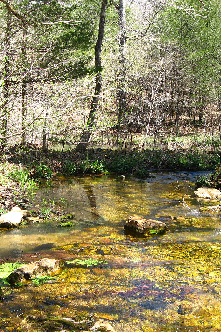
Rock Creek Natural Area, located within the Salem Plateau of the Arkansas Ozarks, contains one of the highest concentrations of rare plants in Arkansas. Many of these rare plants occur in a series of calcareous seep-fen and dolomite glade plant communities along Rock Creek and its tributaries. Rock Creek, a tributary of the Spring River, has very high water quality due to several springs and seeps feeding the creek, and the lack of development in the watershed. The natural area lies within the Harold Alexander Wildlife Management Area and is co-managed with the Arkansas Game and Fish Commission (AGFC).
TRAIL
Length- 1.2 miles roundtrip
Difficulty- Easy to Moderate; not ADA accessible
Download Trail Map
Rock Creek Natural Area hosts some of the most unique terrestrial and aquatic communities among the system of natural areas. The trail exposes visitors
to many of these unique features while it meanders through various habitats such as an upland oak-hickory forest and several glades. After crossing
the dirt road at approximately 0.4 mile the trail parallels the Bubbling Springs Hollow tributary to Rock Creek. The appropriately named Bubbling Springs
is the main highlight that can be found at the end of the trail.
DIRECTIONS
The Area is located approximately 6 miles south of Hardy. Take State Highway 342 east from U.S. Highway 62 along the Spring River to Rock Creek Road (County Road 51). Follow Rock Creek Road south to the Rock Creek bridge within the Harold Alexander Wildlife Management Area.
HUNTING
Specific types of hunting are allowed on this natural area. For details, see the Harold E. Alexander Spring River WMA listing in the current Arkansas Hunting Guidebook. Take all necessary safety precautions when visiting this area.
Related Content
