Find A Natural Area


Within the System of Natural Areas are sites that represent some of the best, and last, remaining examples of the state’s original natural landscape. Natural areas are special places that protect rare natural communities and provide vital habitat for a host of plant and animal species, some of which are considered to be rare, threatened, or endangered. Locate one of our 79 natural areas below.


Devil's Knob-Devil's Backbone Natural Area

Devil's Knob-Devil's Backbone Natural Area
Tags
Hunting Natural Areas Primitive Trails
Division
Ozark Mountains
Acres
822
Year Added
1976
Hunting Allowed?
Yes
Wildlife Management Area
Devil's Knob Natural Area WMA
Arkansas Natural Heritage Commission
Featured by
ANHC
Location
Izard County
Get Directions
Share This Natural Area
Located about 10 miles southwest of Melbourne in the Ozark Mountains, Devil’s Knob-Devil's Backbone Natural Area includes limestone, dolomite, and sandstone glades, woodlands, and bluffs. Local topography includes an uplifted ridge with two knolls joined by a saddle known as Devil’s Backbone. Glades and bluffs on the natural area support several rare plant species and the bluffs are home to a number of hundreds-year old Ashe's juniper trees, the largest measuring 30 inches or more in diameter.

TRAIL

Length-   1.25 miles roundtrip
Difficulty-  Moderate; not ADA accessible
Trail Blazes-   Blue diamond markers and blue ribbon markers
Download Trail Map 

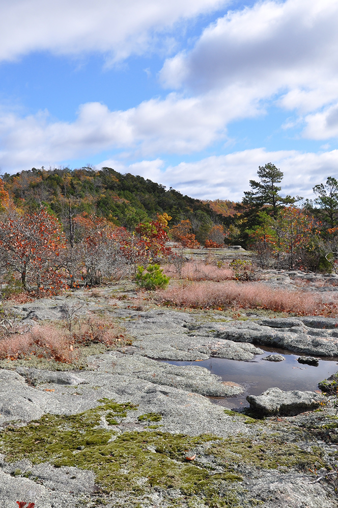
This loop trail starts and ends at the trailhead, located near the interpretive sign kiosk west of the gravel parking area. The trail takes visitors past Ashe's juniper trees, some hundreds of years old; through open glades, which support numerous wildflowers when in season; and underneath shelter bluffs, which include interesting rock formations. Beautiful views from rocky outcrops and vistas can be seen at many points along the trail. Blue diamond markers indicate the pathway in most locations. Where there are fewer trees to attach blue diamond markers, the trail is marked with blue ribbon ties. The trail is considered moderate because of the short, but steep climb to the top of the mountain; the rest of the trail is relatively flat once you are on top of the backbone. 

DIRECTIONS

Travel north on state Highway 9 from Mountain View approximately 15 miles. Turn left on Mt. Olive Access Road and travel 1.3 miles to the natural area sign and small clearing on either side of the road for parking.

HUNTING

Specific types of hunting are allowed on this natural area. For details, see the Devil's Knob Natural Area WMA listing in the current Arkansas Hunting Guidebook. Take all necessary safety precautions when visiting this area.

Related Content

Related


Filters