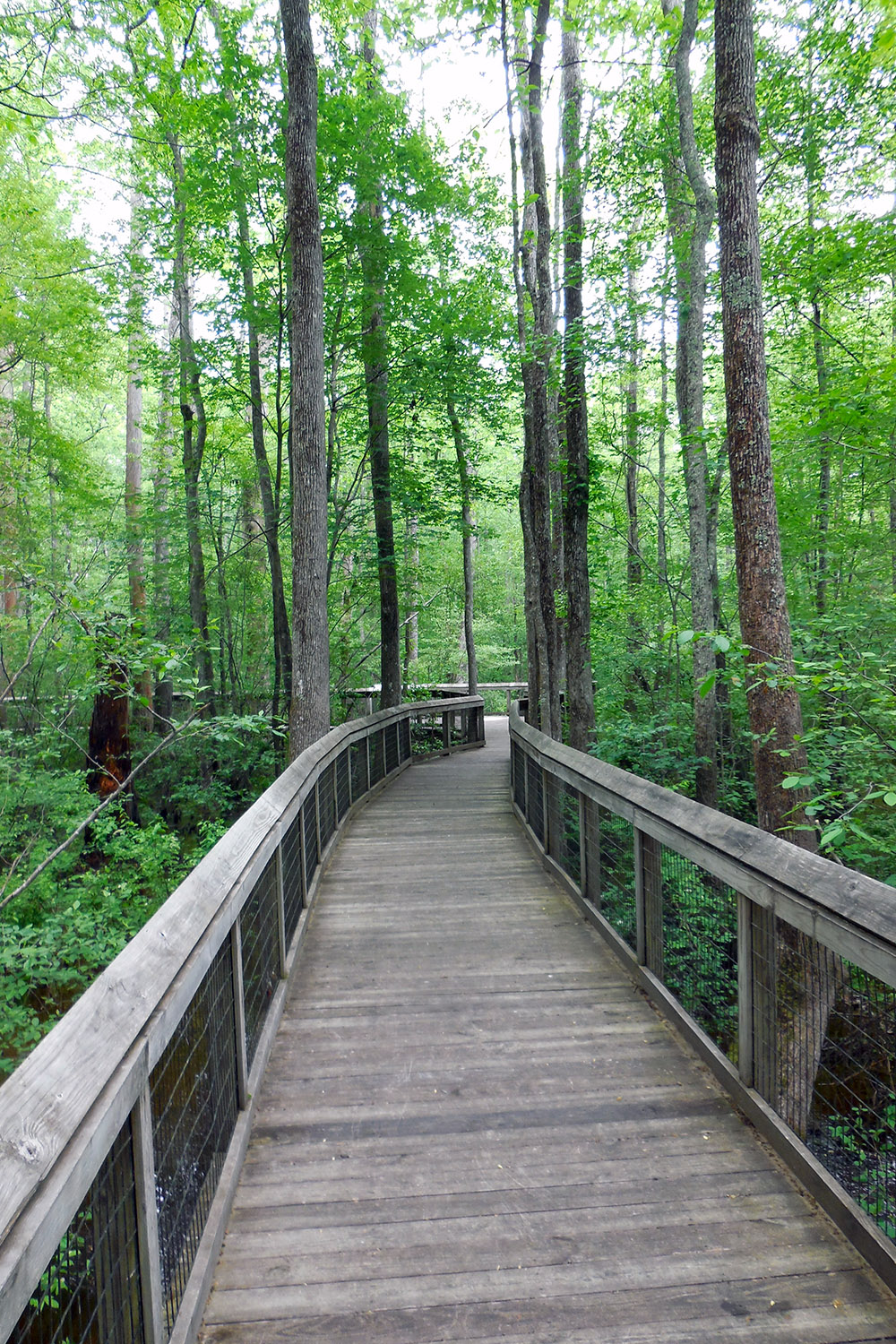
Lorance Creek Natural Area is primarily a shallow, groundwater-fed swamp that spreads out along both sides of Lorance Creek. The natural area is situated at the transition zone between the sandy uplands of the Coastal Plain and the flat lowlands of the Mississippi Alluvial Plain and includes examples of each. The entire system is a diverse mosaic of upland pine hardwood forest, open water, bald-cypress/tupelo swamp, beaver ponds, and sandy washes overlain with groves of swamp black-gum. All these features are inter-connected by a complex network of small streams and seeps, which support a rich aquatic flora. A portion of the natural area has been developed, using environmentally sensitive construction techniques, to enhance public visitation and environmental education opportunities. This part of the natural area features a paved foot-trail, interpretive panels, and a boardwalk out into the swamp. Both the foot-trail and boardwalk are universally accessible. The Nature Conservancy (TNC) owns adjoining property.
TRAIL
Length- 0.5 mile roundtrip
Difficulty- Easy; ADA accessible
Download Trail Map
A paved in-and-out trail begins at the natural area parking lot and takes visitors through an upland pine-oak forest. The trail gradually drops as the property transitions into bottomland. Interpretive panels give visitors information about the two different natural divisions and the ecosystems of the natural area. A boardwalk featuring an open water tupelo-bald cypress forest takes visitors into the swamp.
DIRECTIONS
From Little Rock, take Interstate 530 (old U.S. Highway 65) south approximately 10 miles, exit at Bingham Road (Exit 9). Turn left (east) on Bingham Road, cross over the interstate, and continue through a residential area. At the first "Y" in the road, go right on Bingham Road. At the second "Y" in the road, bear right on Border Lane and the Lorance Creek parking lot is approximately 100 yards on the right.
HUNTING
Hunting is prohibited on this natural area.