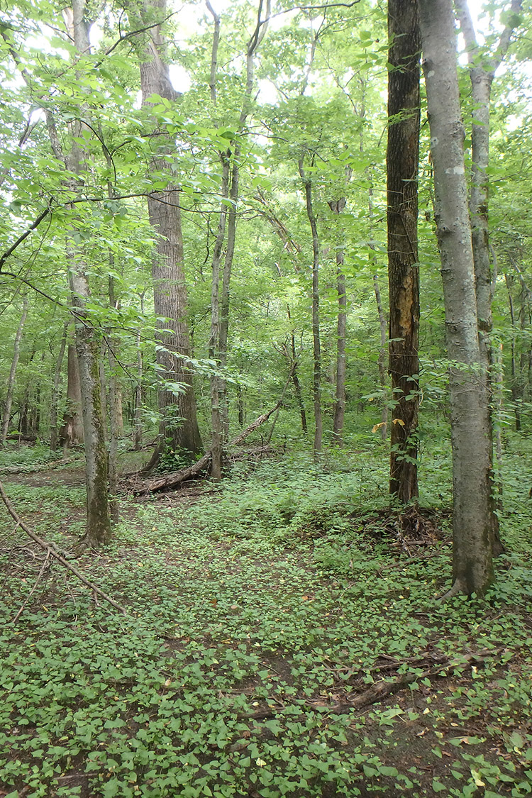
Singer Forest Natural Area, located in the Mississippi Alluvial Plain, primarily consists of a bottomland forest/overflow swamp. Singer Forest is a good representation of the forested wetlands that once occurred throughout this part of Arkansas. Although once common across the Mississippi Alluvial Plain, most forested wetlands have been cleared for agricultural production. The Arkansas Game and Fish Commission (AGFC) holds fee title and co-manages this natural area.
DIRECTIONS
From Marked Tree, take State Highway 75 south 8.8 miles and turn right onto a dirt levee road (County Road 401). Travel west approximately 1.2 miles on top of levee and turn right crossing Ditch #109. The property is on the north side of Ditch #109.
HUNTING
Specific types of hunting are allowed on this natural area. For details, see the St. Francis Sunkenlands WMA listing in the current Arkansas Hunting Guidebook. Take all necessary safety precautions when visiting this area.